How does Iran’s geography empower its geopolitics
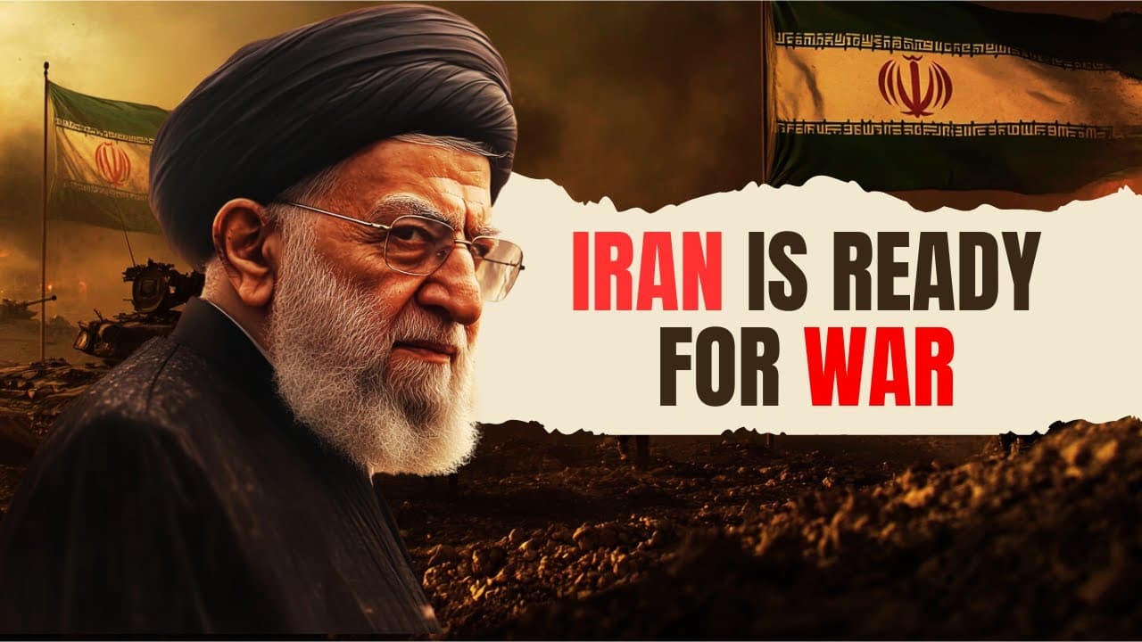
TL;DR
Iran leverages natural barriers, mountain ranges, and chokepoints to deter invasions and project influence. Its proxy warfare and control over critical water routes magnify its strategic leverage, allowing a smaller economy to challenge larger powers. The video explains how geography and strategy shape its regional power.
Transcript
Iran's rulers promis to destroy my country Murder My People I have a message for the tyrants of Teran if you strike us we will strike you hi everybody on 26th of October 2024 Israel officially declared war against against Iran and now just like Israel went all out to finish off Hamas and heah Israel is about to wage a war against Iran because Israe... Read More
Key Insights
- Iran is protected by the Caspian Sea to the north, the Albor mountains, and the Zagros mountains to the west, creating a natural barrier against invasion.
- The Persian Gulf and Gulf of Oman are critical waterways that function as life lines for world trade, giving Iran economic leverage through the threat or control of flow.
- Iran’s proxy warfare strategy uses groups like Hezbollah and Hamas to carry out operations, expanding its influence without direct military engagement.
- Iran can leverage the Caspian Sea crossing and mountainous terrain to complicate any amphibious or air assault campaigns from adversaries.
- Control of important choke points means even a relatively weaker economy can disrupt global oil markets and impose costs on larger powers.
- Geopolitical leverage comes not only from geography but also from a willingness to threaten disruption of oil supply, influencing international responses.
- Iran’s ability to fund and arm militias across the Middle East enhances its regional reach beyond conventional force projection.
- The combination of terrain, geography, and proxy actors creates a multi dimensional defense that can deter aggressive moves by stronger adversaries.
- More videos from this channel:
- More from this channel: Think School
Install to Summarize YouTube Videos and Get Transcripts
Explore YouTube Video Summarizer or Get YouTube Transcript Extractor
Questions & Answers
Q: How does Iran’s geography deter invasions and protect its borders?
Iran sits behind multiple natural barriers that collectively complicate any invasion. The Caspian Sea to the north acts as a water barrier, while the Albor mountains form a high altitude defense. On the western side, the Zagros Mountains present a rugged, tall terrain that is difficult to traverse with heavy equipment. These geographic features, combined with deserts to the east and access to important waterways to the south, create a multi layered defense that discourages direct assault and helps Iran sustain longer regional contests.
Q: Why are the Persian Gulf and Gulf of Oman considered critical for global trade?
These waterways connect the Persian Gulf to the Gulf of Oman and form a vital corridor for world energy supplies. About a fifth of the world oil supply flows through this narrow passage every day, making any disruption or threat to transit a major catalyst for global price changes. Iran’s ability to influence or threaten these routes gives it leverage over international economic stability and strategic calculations by major powers.
Q: What is proxy warfare and how does Iran use it to extend its influence?
Proxy warfare is a tactic where a country does not fight directly but supports local groups to carry out attacks or destabilize regions. Iran uses militia networks across the Middle East, such as Hezbollah and Hamas, to project power, influence regional outcomes, and complicate the strategies of adversaries without engaging in full scale conventional war. This expands Iran’s reach beyond its own borders.
Q: How has Iran’s geography impacted historical invasion attempts, such as the Iraq war?
Geography has repeatedly undermined invasion attempts due to the Zagros Mountains and other natural barriers which hindered movement and supply lines for opposing forces. During the Iran Iraq conflict, invading tanks and artillery met difficult terrain, slowing advances and enabling Iran to counter effectively. The mountains served as a defensive bulwark that reshaped battlefield dynamics and prolonged the conflict.
Q: What is the strategic importance of the southern border for Iran?
The southern border holds strategic significance because it gives Iran control over important sea lanes and oil trade routes. By influencing or threatening the Hormuz Strait and related maritime channels, Iran can affect global oil prices and supply chains. This power to influence energy markets compels other nations to weigh risks when considering military action in the region.
Q: What role do sanctions play in shaping Iran’s resilience and strategy?
Sanctions have tightened external economic pressures but Iran has adapted by leveraging its geography and regional influence to sustain strategic goals. The combination of defensive terrain, chokepoint control, and proxy networks allows Iran to maintain leverage despite economic penalties. This resilience demonstrates how geographic and geopolitical factors can offset some costs of sanctions.
Q: How does Iran use economic leverage from oil routes to influence global responses?
Iran’s control or threat to disrupt key oil transit routes gives it the ability to influence global energy costs and inflation. By signaling the potential to constrain oil flows through the Gulf and Hormuz, Iran can compel other nations to take into account energy security when forming policies. This economic leverage complements its military and proxy capabilities, creating a multi dimensional strategic posture.
Q: What lessons does the video suggest India could learn from Iran’s approach?
The video implies that understanding how geography and external influence networks shape regional power can inform strategy. For India, lessons might include leveraging own geographic features, building robust regional alliances, and developing non traditional defense tools such as proxy or strategic partnerships to influence regional dynamics without relying solely on conventional military power.
Summary & Key Takeaways
-
Iran benefits from natural geographic barriers that protect its northern and western borders, making invasion difficult. The Caspian Sea, Albor and Zagros mountains act as defensive walls, complicating enemy advances.
-
Iran controls key maritime chokepoints such as the Persian Gulf and Gulf of Oman, giving it leverage over global oil flows and economic stability for adversaries.
-
A third power comes from Iran’s use of proxy warfare and militias to expand influence without direct confrontation, amplifying its geopolitical reach beyond its size.
Read in Other Languages (beta)
Share This Summary 📚
Summarize YouTube Videos and Get Video Transcripts with 1-Click
Try YouTube Summary with ChatGPT & Claude or YouTube Transcript Generator
Explore More Summaries from Think School 📚






Summarize YouTube Videos and Get Video Transcripts with 1-Click
Try YouTube Summary with ChatGPT & Claude or YouTube Transcript Generator