How Will the San Andreas Fault Trigger a Major Earthquake?
TL;DR
A major San Andreas earthquake is expected to occur again, with scientists forecasting a possible magnitude 7.8 event in Southern California and significant damage. The program traces the fault’s origin, examines past earthquakes, and explains how clues from ancient sediments and plate tectonics help scientists understand risk and timing.
Transcript
NARRATOR: Earth, a 4.5 billion year old planet, still evolving. As continents shift and clash, volcanoes erupt and glaciers grow and recede. The Earth's crust is carved in numerous and fascinating ways, leaving a trail of geological mysteries behind. In this episode, an investigation into California's San Andreas Fault, the greatest fault line on E... Read More
Key Insights
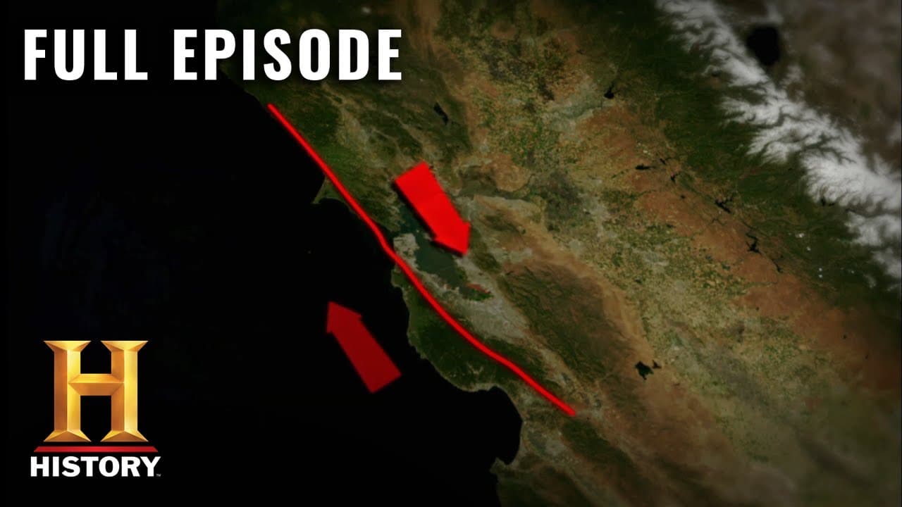
- The San Andreas Fault is about 800 miles long and forms a major boundary between the North American and Pacific plates.
- The 1906 San Francisco earthquake demonstrated how damage and fires can follow an offshore rupture and crumble urban areas.
- The fault’s movement is driven by plate tectonics, with the Pacific plate sliding north relative to North America, creating pervasive seismic stress.
- Historical records and geological clues from ancient ponds reveal patterns of past earthquakes on the fault.
- Mussel Rock offshore evidence shows the fault reaches land and helps locate where ruptures have occurred in the past.
- An ancient lakebed or pond sediment provides radiocarbon evidence used to date disruption events along the fault.
- Researchers use modern computer modeling to trace how seismic waves spread and pinpoint probable rupture zones.
- Preparations for a large quake include understanding potential damage scenarios, including fires and infrastructure failures, to guide policy and planning.
- More videos from this channel:
- More from this channel: HISTORY
Install to Summarize YouTube Videos and Get Transcripts
Explore YouTube Video Summarizer or Get YouTube Transcript Extractor
Questions & Answers
Q: What is the San Andreas Fault and why is it significant?
The San Andreas Fault is a major fault line about 800 miles long, marking the boundary between two massive tectonic plates, the Pacific and North American plates. It is significant because the relative motion of these plates creates substantial seismic stress that can produce large earthquakes. This fault has a long history of activity and shapes the seismic risk for California’s cities and communities.
Q: How did scientists identify the fault’s location and extent?
Scientists identified the fault’s location by studying patterns of damage and rock displacement from past earthquakes, notably the 1906 event in San Francisco. By mapping where rocks broke and where land shifted, researchers traced a straight line of weakness along the coast and inland. Seabed mapping and outcrop studies confirmed the fault continues offshore and on land for hundreds of miles.
Q: What role does plate tectonics play in the San Andreas system?
Plate tectonics explains that the Pacific plate moves relative to North America, causing the two plates to interact along the San Andreas Fault. The Pacific plate generally slides northward, creating shear forces that deform rocks, trigger earthquakes, and drive the complex fault network visible today. This understanding links historical quakes to present risk.
Q: What evidence exists for ancient earthquakes on the San Andreas?
Evidence for ancient earthquakes includes sediment layers in dried ponds and trench walls showing sudden shifts along tiny fracture strands, indicating past ruptures. Radiocarbon dating of plant material and charcoal traces helps determine when these shifts occurred, revealing a long history of seismic activity that informs risk assessments and recurrence intervals.
Q: How do scientists locate past rupture zones offshore and onshore?
Scientists locate rupture zones by combining offshore seabed mapping, where faults extend beneath the sea floor, with onshore geological observations. Differences in rock types, rotated blocks, and alignment of fault lines help identify where ruptures began and propagated. Remote sensing and drilling further refine the history of fault movement across the region.
Q: What is the significance of the 7.8 magnitude scenario mentioned in Shakeout?
The 7.8 magnitude scenario in Shakeout represents a large, potentially city-straining earthquake on the southern San Andreas Fault. It underscores the scale of damage and the critical need for preparedness, including building resilience, emergency response planning, and public awareness. While forecasting exact timing is complex, the scenario highlights vulnerabilities and planning priorities.
Q: How does studying ancient sediments help predict future earthquakes?
Ancient sediments capture evidence of past quakes through disrupted layers, burns, and sudden shifts that reset deposition. By dating these events, scientists build a timeline of past activity, estimate recurrence intervals, and test models of fault behavior. This historical perspective improves probabilistic forecasts and informs preparedness strategies for communities at risk.
Q: What broader lessons does the episode offer about preparing for earthquakes?
The episode illustrates that understanding a fault’s history, current stress, and probable rupture zones is essential for risk planning. It emphasizes the need for resilient infrastructure, effective emergency response, and informed public communication. By translating geological insights into actionable policies, societies can reduce casualties and economic losses when the next big quake occurs.
Summary & Key Takeaways
-
The program explains the 800 mile long San Andreas Fault and its role as the boundary between two tectonic plates, highlighting how motion along the fault shapes California’s seismic risk.
-
Historical earthquakes, including the 1906 San Francisco event, are used to illustrate how researchers identify fault behavior and assess danger.
-
By studying ancient fault activity and modern measurements, scientists aim to estimate when and where the next big quake might strike and how communities can prepare.
Read in Other Languages (beta)
Share This Summary 📚
Summarize YouTube Videos and Get Video Transcripts with 1-Click
Try YouTube Summary with ChatGPT & Claude or YouTube Transcript Generator
Explore More Summaries from HISTORY 📚


Summarize YouTube Videos and Get Video Transcripts with 1-Click
Try YouTube Summary with ChatGPT & Claude or YouTube Transcript Generator