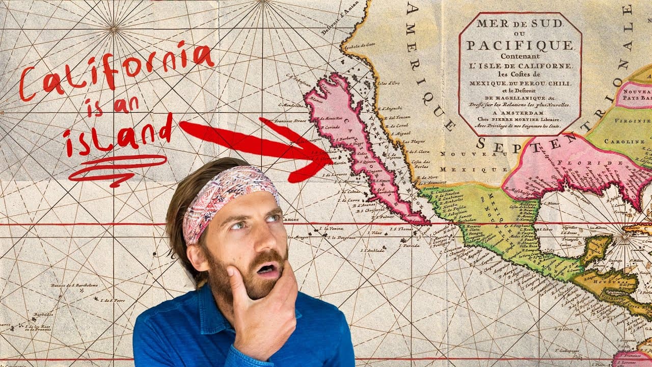
Why Was California Mapped as an Island?
TL;DR
California was mapped as an island because a fictional idea from a 1510 Spanish novel influenced explorers, Fray Antonio de la Ascensión promoted the misconception, and captured Spanish maps helped spread it globally. Although earlier maps had correctly shown California connected to the mainland, Dutch and other mapmakers adopted the island depiction, which persisted for over 200 years. Read on to see how fiction, ambition, piracy, and repetition turned an error into accepted geography.
Transcript
- A legacy in Silicon Valley. - Palo Alto's kind of this mythical place. - Humans have always searched for mythical, magical places. Atlantis, El Dorado, Shangri-La, but none of them have actually been found besides one. It started on a typical workday for me when I was sifting through maps which, yes, is something I routinely just do. Oh my God. P... Read More
Key Insights
- California was depicted as an island for over 200 years due to a mix of myth and misinformation.
- The myth originated from a 1510 Spanish novel describing California as a mythical island.
- Spanish explorers, like Hernán Cortés, were influenced by this novel, seeking the mythical land.
- Fray Antonio de la Ascensión played a key role in perpetuating the island myth despite evidence to the contrary.
- Pirates captured a Spanish ship with maps showing California as an island, spreading the misinformation.
- Dutch mapmakers adopted the island depiction, further legitimizing the error.
- The myth persisted globally, with maps from various countries depicting California as an island.
- The story illustrates how myths and dreams can influence historical perceptions and mapmaking.
Install to Summarize YouTube Videos and Get Transcripts
Explore YouTube Video Summarizer or Get YouTube Transcript Extractor
Questions & Answers
Q: Why was California depicted as an island on maps?
The misconception combined fiction, ambition, and misinformation. A 1510 Spanish novel imagined California as a mythical island, Fray Antonio de la Ascensión later promoted the island depiction, and captured Spanish maps helped spread it to mapmakers around the world.
Q: Was California ever actually an island?
The transcript presents California’s island status as a mapping error, not a real geographic condition. Maps from the 1500s had already depicted California accurately, but later maps from the 1600s onward began showing it as an island.
Q: How long did mapmakers depict California as an island?
Maps depicted California as an island for over 200 years. Examples mentioned in the transcript date from 1650, 1690, 1750, and 1785, showing how long the mistake persisted.
Q: How did a 1510 Spanish novel inspire the California island myth?
The novel described California as a fictional island populated by Black women, ruled by Queen Calafia, and containing no metal other than gold. It placed this imaginary land “at the right hand of the Indies,” helping connect the fantasy to later exploration.
Q: Who was Fray Antonio de la Ascensión?
Fray Antonio de la Ascensión was a Spanish religious figure and an assistant on a mapping expedition. He promoted the idea that California was an island despite evidence to the contrary, helping the misconception endure.
Q: How did pirates help spread maps showing California as an island?
Pirates captured a Spanish ship carrying maps that depicted California as an island. Those maps reached Europe and contributed to the wider circulation of the incorrect geography.
Q: What role did Dutch mapmakers play in the California island myth?
Dutch mapmakers adopted the erroneous island depiction after the Spanish maps spread through piracy. Their maps helped legitimize the mistake, which was then repeated by mapmakers from multiple countries.
Q: Which countries produced maps showing California as an island?
The transcript identifies Dutch, German, British, and Japanese maps that showed California as an island. The presence of thousands of such maps demonstrates how widely the false depiction circulated.
Summary & Key Takeaways
-
California was depicted as an island on maps for over 200 years due to a mix of myth, ambition, and misinformation. The misconception began with Spanish explorers who were influenced by a fictional novel and persisted due to piracy and the spread of erroneous maps.
-
Fray Antonio de la Ascensión was instrumental in spreading the myth of California as an island, despite evidence to the contrary. His persistence, combined with the capture of Spanish maps by pirates, helped spread the misinformation globally.
-
The story of California as an island highlights how myths and dreams can shape perceptions and cartography. Despite being debunked, the myth persisted due to the allure of California as a land of dreams and opportunity.
Read in Other Languages (beta)
Share This Summary 📚
Summarize YouTube Videos and Get Video Transcripts with 1-Click
Try YouTube Summary with ChatGPT & Claude or YouTube Transcript Generator
Explore More Summaries from Johnny Harris 📚






Summarize YouTube Videos and Get Video Transcripts with 1-Click
Try YouTube Summary with ChatGPT & Claude or YouTube Transcript Generator