How to test aerial signals and GPS in a UFO research setup
TL;DR
The team broadcasts a 1.6 gigahertz signal from the ground to helicopters at different altitudes to study signal disruption. They also launch a rocket to stimulate phenomena and collect GPS data, encountering gaps and anomalous readings that suggest something blocks or alters transmissions above the triangle.
Transcript
at the triangle, Cameron Fugal arranged for his colleague Brock Wilson to fly a second helicopter out to the ranch. Thanks for your help and bringing your beautiful -machine out. -Thanks for having me. I know we've spoken before and talked a little bit about the experiment that we want to perform in the air -over the triangle out there... -Yes. ..... Read More
Key Insights
- The experiment uses two helicopters to broadcast a 1.6 GHz signal and test line of sight above the triangle.
- GPS data shows gaps and sudden jumps when signals are disrupted, suggesting blocking or interference by an unseen factor.
- Rockets are launched to stimulate phenomena and gather data on the anomalous zone above the triangle.
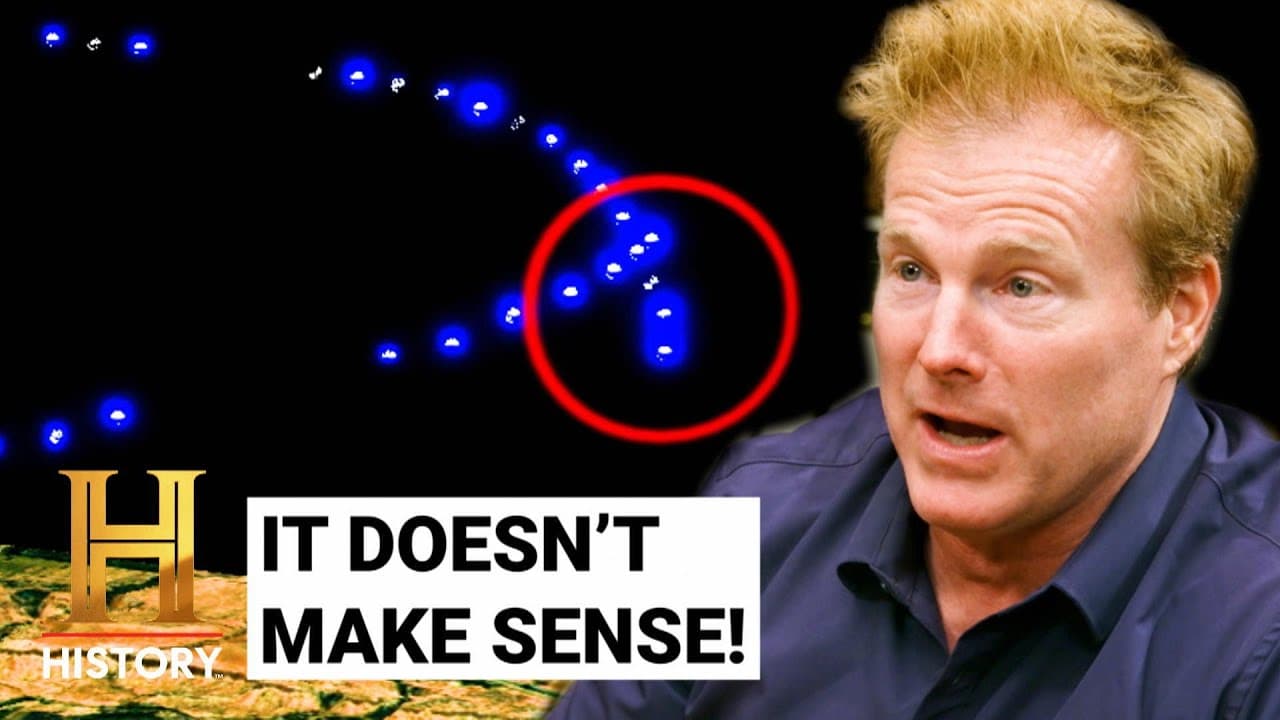
- Observations include potential physical objects in camera frames, roughly five feet long, that may not fit prior categories.
- Scientists emphasize data continuity and the presence of unexplained gaps in the tracking information.
- The team notes that signal disruptions vary with position relative to the northern region of the anomalous zone.
- Visual frames show two potential objects that could be separate crafts rather than a single phenomenon.
- The investigators plan to continue collecting data at multiple altitudes to look for patterns in the anomalies and their sources.
- More videos from this channel:
- More from this channel: HISTORY
Install to Summarize YouTube Videos and Get Transcripts
Explore YouTube Video Summarizer or Get YouTube Transcript Extractor
Questions & Answers
Q: What is the purpose of broadcasting a 1.6 GHz signal between helicopters over the triangle?
The purpose is to observe how the signal travels between aircraft in real time and to identify times and locations where the transmission is disrupted. By moving to higher altitudes and varying positions, the researchers can map the conditions that cause communication gaps, which could indicate an unseen factor modifying radio or GPS signals above the triangle.
Q: Why did the team launch a rocket during the experiment?
The rocket was launched to stimulate the area and generate data that might reveal how phenomena above the triangle respond to a controlled impulse. The goal is to create a measurable event that can be correlated with GPS data and signal disruptions, helping scientists pinpoint where anomalies may originate.
Q: What unusual GPS data did the team observe during the flight?
The crew observed gaps where GPS points were missing on Brock’s helicopter and sudden jumps in altitude that could not be easily explained. These anomalies suggest the presence of a factor that intermittently blocks or distorts GPS signals, which is a key clue in understanding the anomalous zone above the triangle.
Q: What did the camera footage reveal about potential objects in the sky?
Camera footage showed a five and a half foot object in the field of view, with two lines in the middle that appeared saturated. The team considered it could be a single object or two overlapping structures. This visual evidence is discussed as potentially physical craft, not easily classifiable as a known shape.
Q: How do the researchers describe the anomalies they are studying?
Researchers describe the anomalies as disruptions in signal and GPS data linked to the anomalous zone above Skinwalker Ranch. They note that the disruptions occur when helicopters pass specific northern regions, and they seek to determine if a hidden mechanism or object is responsible for blocking or altering signals.
Q: What is the significance of the northern region of the anomalous zone?
The northern region appears to correlate with repeated signal disruption during the flights, suggesting that this area might host the conditions or agents responsible for blocking transmissions. Identifying this correlation helps direct further measurements toward the area most likely to reveal the underlying cause.
Q: What challenges do the investigators face with data collection?
A major challenge is ensuring continuous data streams from GPS and radio systems, as gaps and missing points complicate analysis. The team also has to interpret ambiguous visuals and determine whether observed shapes are genuine artifacts or misinterpretations, all while conducting measurements at multiple altitudes.
Q: What are the next steps planned by the Skinwalker Ranch team?
The team plans to continue the altitude-based data collection, broadcast additional signals, and compare GPS with visual data across more flights. By repeating the experiments at different heights and positions, they aim to identify consistent patterns that could reveal the origin or mechanism behind the anomalous zone and its effects on communications.
Summary & Key Takeaways
-
The clip shows a coordinated helicopter experiment over the triangle where signals are transmitted between aircraft and from ground equipment, aiming to map disruptions in the anomalous zone.
-
A rocket is launched to probe the area and collect GPS data, revealing sudden altitude jumps that indicate unexpected signal behavior.
-
The team evaluates visual, GPS, and radio data to determine if physical objects or phenomena correlate with communication anomalies above Skinwalker Ranch.
Read in Other Languages (beta)
Share This Summary 📚
Summarize YouTube Videos and Get Video Transcripts with 1-Click
Try YouTube Summary with ChatGPT & Claude or YouTube Transcript Generator
Explore More Summaries from HISTORY 📚


Summarize YouTube Videos and Get Video Transcripts with 1-Click
Try YouTube Summary with ChatGPT & Claude or YouTube Transcript Generator