How Did the Great Lakes Form?, How the Earth Was Made: Great Lakes of North America (S1, E7)
TL;DR
The Great Lakes formed through connected stages involving ancient tropical seas, salt and limestone deposits, resistant dolostone, ice sheets, volcanic rifts, and changing drainage. Marine fossils date the region’s warm, shallow seas to about 385 million years ago, while Niagara Falls’ retreat supports roughly 12,000 years of freshwater flow. Read on to see how salt mines, fossils, rock layers, and the Niagara gorge reveal each stage.
Transcript
[music playing] COREY JOHNSON: Earth, a 4.5 billion-year-old planet, still evolving. As continents shift and clash, volcanoes erupt, glaciers grow and recede, the Earth's crust is carved in numerous and fascinating ways, leaving a trail of geological mysteries behind. In this episode, the Great Lakes of North America, the largest expanse of freshwa... Read More
Key Insights
- The Great Lakes contain 20% of the world’s freshwater and provide drinking water for nearly 10% of Americans. Four lakes drain through Niagara Falls into Lake Ontario, creating a connected freshwater system whose landscape preserves evidence of ancient seas, rock transformation, erosion, ice, and volcanism.
- The salt deposits beneath Lakes Huron and Michigan are remains of an ancient sea that repeatedly dried and refilled. Hundreds of salt layers record repeated evaporation cycles, and the massive deposit extends beneath Lake Huron, Michigan, and toward Detroit, supplying 35% of North America’s salt.
- Marine fossils near Thunder Bay show that warm, shallow seas covered the region about 385 million years ago. Giant lime-secreting sponges helped build reefs when the landmass was south of the equator, and successive reef deposits eventually became thick layers of fossil-rich limestone beneath Lake Huron.
- Dolostone is a harder, more weather-resistant rock created when salty brines caused limestone to recrystallize. An acid test produces a violent carbon dioxide-releasing reaction on limestone but almost no reaction on dolostone, demonstrating the physical difference that helped determine the lakes’ later shape.
- The rocky basin beneath Lakes Michigan, Huron, and Erie is capped by resistant dolostone. This protective layer preserved softer salt deposits below and acts like the lining of a bathtub, holding freshwater within a broad geological structure created from sediments and chemical changes in an ancient sea.
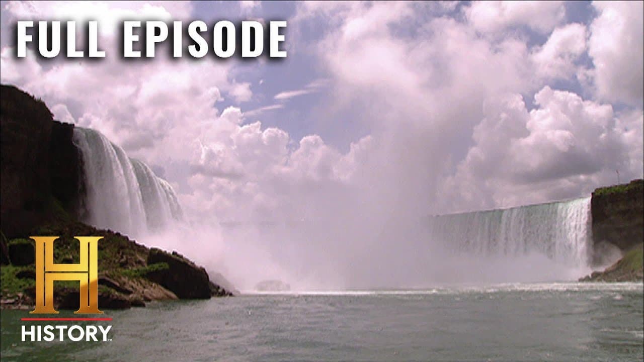
- Niagara Falls retreats because falling water erodes soft shale beneath a hard dolostone cap. As the shale is removed, unsupported blocks of dolostone collapse, shifting the waterfall upstream and lengthening the gorge. This measurable process provides a method for estimating when freshwater began crossing the escarpment.
- Charles Lyell estimated Niagara Falls at 35,000 years old by combining a 35,000-foot gorge with an assumed retreat of one foot per year. Later observations recorded about 600 feet of retreat over 200 years, or roughly three feet annually, producing a revised age of about 12,000 years.
- The formation of the Great Lakes involved multiple geological forces rather than a single event. The episode identifies ancient seas, dolostone basins, sculpting ice sheets, deep volcanic rifts, and the draining of prehistoric lakes as connected stages in the development of the present freshwater landscape.
Install to Summarize YouTube Videos and Get Transcripts
Explore YouTube Video Summarizer or Get YouTube Transcript Extractor
Questions & Answers
Q: How did the Great Lakes of North America form?
The Great Lakes formed through several connected geological stages rather than one event. Ancient tropical seas deposited salt, reefs, and limestone, while salty brines transformed some limestone into resistant dolostone that helped create the basin beneath Lakes Michigan, Huron, and Erie. Ice sheets, volcanic rifts, and the draining of prehistoric lakes also helped produce the present landscape.
Q: What do the salt deposits beneath Lakes Huron and Michigan reveal?
The deposits show that an ancient sea once covered the region and repeatedly dried up and refilled, leaving hundreds of salt layers. The deposit extends beneath Lake Huron and Michigan toward Detroit, may contain trillions of tons of salt, and supplies 35% of North America’s salt.
Q: Why are marine fossils found near Lake Huron?
Warm, shallow seas covered the region about 385 million years ago, when the North American landmass was in the Southern Hemisphere just south of the equator. Giant lime-secreting sponges helped build reefs, whose fossilized remains and successive limestone layers were preserved near and beneath Thunder Bay Island.
Q: What is dolostone, and how did it shape the Great Lakes?
Dolostone formed when salty brines caused limestone to recrystallize into a harder, more weather-resistant rock. This resistant layer protected softer salt below, helped form the rocky basin beneath Lakes Michigan, Huron, and Erie, and created the Niagara Escarpment.
Q: How does the rocky basin hold the Great Lakes’ freshwater?
A vast, resistant rock layer lies beneath Lakes Michigan and Huron and extends under Lake Erie. It acts like the porcelain lining of a bathtub, preserving softer deposits below and holding freshwater within the basin.
Q: Why does Niagara Falls move upstream?
Falling water erodes the soft shale beneath a hard dolostone cap. When enough shale is removed, unsupported dolostone blocks collapse, shifting the waterfall upstream and lengthening the Niagara gorge.
Q: How was Niagara Falls used to estimate the age of freshwater flow?
Geologists compared the Niagara gorge’s length of about 35,000 feet with the waterfall’s rate of upstream retreat. Charles Lyell assumed one foot per year and calculated 35,000 years, but later records showed about 600 feet of retreat in 200 years, supporting an estimate of roughly 12,000 years.
Q: What evidence links ancient seas to the modern Great Lakes?
Underground salt records repeated seawater evaporation, while marine fossils preserve reef-building organisms from about 385 million years ago. Successive reefs became limestone, and salty brines converted some of that limestone into durable dolostone that shaped the lakes’ basin and the Niagara Escarpment.
Summary & Key Takeaways
-
Ancient warm seas covered the region about 385 million years ago, when the North American landmass lay in the Southern Hemisphere near the equator. Repeated evaporation left enormous underground salt deposits, while successive coral reefs became limestone. Fossilized sea creatures preserved within these rocks provide evidence of that vanished marine environment.
-
Salty brines transformed some soft limestone into harder, weather-resistant dolostone. This durable cap created a rock-lined basin beneath Lakes Michigan, Huron, and Erie, while its exposed rim became the Niagara Escarpment. At Niagara Falls, water removes softer underlying shale until unsupported dolostone blocks collapse, gradually moving the waterfall upstream.
-
Niagara Falls helps date freshwater flow through the Great Lakes because its upstream retreat created a gorge extending about 35,000 feet from the Niagara Escarpment. Charles Lyell estimated a slower retreat and an age of 35,000 years, but later records showed roughly 600 feet of movement in 200 years, supporting about 12,000 years.
Read in Other Languages (beta)
Share This Summary 📚
Summarize YouTube Videos and Get Video Transcripts with 1-Click
Try YouTube Summary with ChatGPT & Claude or YouTube Transcript Generator
Explore More Summaries from HISTORY 📚


Summarize YouTube Videos and Get Video Transcripts with 1-Click
Try YouTube Summary with ChatGPT & Claude or YouTube Transcript Generator