Why Urban Designers Are Abandoning Traditional GIS for This

Why Urban Designers Are Abandoning Traditional GIS for This
Transcript
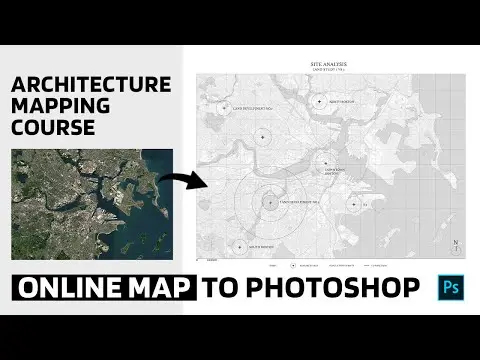
What if you could generate accurate 3D city mapping from GIS data just by typing prompts? In this video, I'll show you an AI workflow that lets you do exactly that for any city in the world using real site data. And the AI pulls in clickable GIS data automatically. First, I open a new project and enter the site location in the initial prompt. The A... Read More
Install to Summarize YouTube Videos and Get Transcripts
Explore YouTube Video Summarizer or Get YouTube Transcript Extractor
Read in Other Languages (beta)
Share This Summary 📚
Summarize YouTube Videos and Get Video Transcripts with 1-Click
Download browser extensions on:
Try YouTube Summary with ChatGPT & Claude or YouTube Transcript Generator
Explore More Summaries from LandSpace Architecture 📚

Why Illustrator is better than Photoshop for Landscape Design Site Plan
LandSpace Architecture

How much money do Landscape Architects make
LandSpace Architecture

10-Minute Landscape Plan Drawing Process in Procreate
LandSpace Architecture

I Used Free AI To Map Walkable Cities!
LandSpace Architecture
Easy Map Editing Tricks You Can Try | Architecture Mapping For Beginners
LandSpace Architecture

2 Ways to Create Streetscape Diagrams
LandSpace Architecture
Summarize YouTube Videos and Get Video Transcripts with 1-Click
Download browser extensions on:
Try YouTube Summary with ChatGPT & Claude or YouTube Transcript Generator