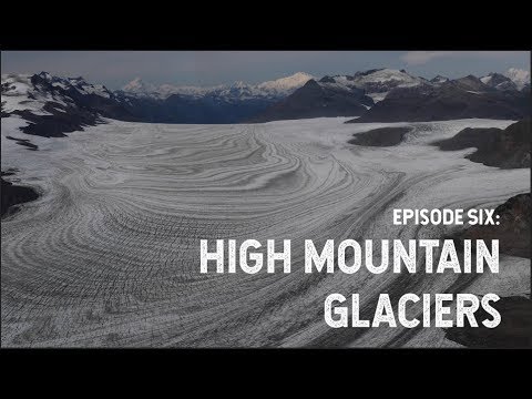
NASA Explorers: High Mountain Glaciers | Summary and Q&A
TL;DR
Scientists study glaciers using satellite data and aerial missions to understand their changes, impacts on sea level rise, and local effects on water resources.
Key Insights
- 👻 Glacier study allows scientists to understand changes on a human timescale and their impacts on the planet.
- 🌄 Mountain glaciers, although smaller, contribute significantly to sea level rise due to their dynamic nature and higher velocities.
- 💦 Alaska and other regions with glaciers heavily rely on their runoff for water resources and agriculture.
- 💁 NASA scientists study glaciers through satellite data and aerial missions to gain accurate information on their changes.
- 🌊 The study of glaciers is crucial for predicting future sea level rise and understanding the local effects on water resources.
Transcript
[Aircraft noise, music] Alex Gardner: My interest in glaciers comes from the sheer size of these things and how much they’re able to change on human timescales. [waterfall noise] And so the amount of mass and energy being transferred by glaciers around the globe is tremendous, and it’s an absolutely fascinating thing to study from space. [waterfal... Read More
Questions & Answers
Q: How do glaciers form and flow?
Glaciers form when accumulated snow compacts and turns into ice, flowing down valleys and carving fjords. The ice flows due to its own weight and constantly moves.
Q: Why do NASA scientists care about glaciers?
NASA studies glaciers as they contribute a substantial amount to sea level rise. Mountain glaciers, particularly in Alaska and Patagonia, react rapidly to climate change and have higher velocities, making them a significant concern.
Q: Besides sea level rise, what other impacts do glaciers have?
Glaciers in regions like high mountain Asia and Alaska provide a crucial water source for populated areas. Changes in runoff from melting glaciers affect stream flows, water resources, and agriculture.
Q: How do scientists monitor glacier changes?
Scientists utilize tools such as satellite measurements and aerial missions. Satellite data provides global ice trends, while airborne measurements offer detailed information on specific glaciers.
Summary & Key Takeaways
-
Glaciers are large and responsive bodies of ice that provide insights into the Earth's past and current conditions.
-
NASA scientists use satellite data to study global ice changes, while researchers like Chris Larsen study Alaskan glaciers through aerial missions.
-
Mountain glaciers, although smaller in size, contribute significantly to sea level rise and have critical impacts on local water resources.
Share This Summary 📚
Explore More Summaries from NASA 📚