Jack Dangermond: An ever-evolving map of everything on Earth | TED Countdown | Summary and Q&A

TL;DR
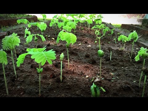
Geologists have coined the term Anthropocene to describe the era in which human activities are significantly impacting the fragile and biodiverse world we live in, but advancements in geospatial technology and the creation of a global geographic information system offer hope for a more sustainable future.
Key Insights
- 🌍 The world is facing serious environmental challenges due to human activities and it is crucial for us to collectively address these issues for a sustainable future.
- 🔗 Emerging technologies in the geospatial field are allowing us to measure, analyze, and understand what is happening on our planet, creating a global geographic information system.
- 🌳 The living atlas of our planet is a comprehensive collection of authoritative data and map layers that provide information on population, economy, natural systems, biodiversity, and changing land cover.
- 🌏 Remote sensing and machine learning enable us to monitor and track real-time information on pollution, weather, and land cover, helping us understand global environmental changes.
- 📊 AI and machine learning can rapidly compute and update global maps of land cover, providing insights into patterns and changes over time, such as the impact of urbanization and agriculture on natural areas.
- 🌿 Geographic systems can be used to model and forecast future land cover to predict the expansion of the human footprint and its potential impact on areas of rich biodiversity.
- 📈 Organizations worldwide are leveraging geospatial data for better planning and decision-making, and it is crucial to empower all organizations to adopt this geographic approach for a more sustainable future.
- 🌐 Creating a sustainable future requires not only technological advancements but also the integration of science-based thinking and the geographic approach into decision-making processes at all levels, from individuals to global institutions.
Transcript
The world that we live in is not well-known. It's fragile. It’s rich in biodiversity. And it’s increasingly impacted by human activities. Geologists are beginning to call this era the Anthropocene. Today, our world is in trouble because humans are living carelessly. We are threatening our very future. We are, as human beings, going to have to colle... Read More
Questions & Answers
Q: What is the Anthropocene era and why is it significant?
The Anthropocene era is the current geological age in which human activities have had a significant impact on the Earth's ecosystems. It is significant because it acknowledges the role of humans in shaping the planet, highlighting the need for collective action to address the challenges our world is facing.
Q: How can sustainability be achieved in the future?
Achieving sustainability in the future requires taking various actions, starting immediately. It involves recognizing the interconnectedness of the world and implementing technologies that allow for measuring, analyzing, and understanding global processes. A geographic information system, functioning as a nervous system for the planet, can provide a platform for better management and decision-making to create a more sustainable future.
Q: What kind of data is included in the living atlas of our planet?
The living atlas of our planet encompasses a vast collection of authoritative data and map layers. It includes information on population, economy, natural systems (such as hydrology, biology, and vegetation), as well as imagery from satellites and aerial photography. Real-time data on pollution, weather, and land cover is also incorporated, offering a comprehensive view of the changing human footprint on Earth.
Q: How is geospatial technology used to forecast the future?
Geospatial technology is utilized to model and forecast future scenarios. For example, it can predict land cover patterns and the expansion of the human footprint by employing statistical methods. By understanding these predictions, organizations can make more informed planning and decision-making to mitigate potential impacts on areas of rich biodiversity.
Q: What is needed to create a sustainable future beyond technology?
While technology plays a crucial role, creating a sustainable future requires the participation of organizations, governments, businesses, and individuals worldwide. Embracing a science-based approach, utilizing technology, and using creative and design skills are necessary. It is essential to integrate geographic thinking, scientific knowledge, and decision-making processes at every level, locally, regionally, nationally, and globally, for meaningful change to occur.
Summary & Key Takeaways
-
The world is fragile and rich in biodiversity, but human activities are threatening its future.
-
Geospatial technologies are emerging and becoming interconnected, allowing for better measurement, analysis, and understanding of what is happening on Earth.
-
A "living atlas" is being created, providing authoritative data and map layers on population, economy, natural systems, and changing human footprint, which can be used for better planning and decision making for a more sustainable future.
Share This Summary 📚
Explore More Summaries from TED 📚