Canada & The United States's Bizarre Border | Summary and Q&A

TL;DR
The Canada-US border is not as straightforward as it seems, with zig-zag lines, disputed territory, and border irregularities.
Key Insights
- 🇨🇦 The Canada-US border has a no-touching-zone to delineate each country's territory.
- 📏 The official border is not straight but consists of over 900 zig-zag markers.
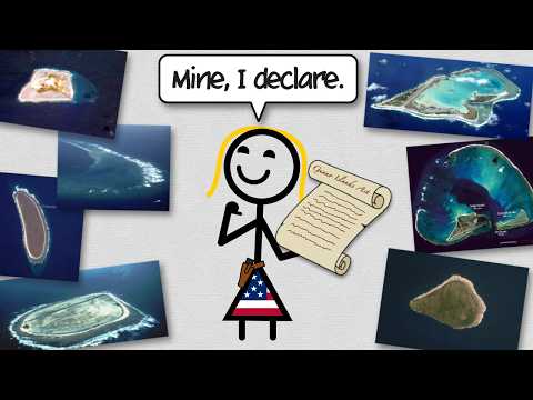
- 🏝️ Disputed territories exist, including islands claimed by both countries.
- 🏝️ Border irregularities, such as the border cutting through lakes and islands, exist in certain areas.
- 🇺🇸 The border between Canada and the United States has historical origins and was defined through negotiations.
- 🫥 Vancouver Island and Point Roberts are examples of areas where the border deviates from a straight line.
- 😵 Border irregularities can lead to unique situations, such as towns with students crossing international borders for school.
Transcript
Canada and the United States share the longest, straightest, possibly boringest border in the world. But, look closer, and there's plenty of bizarreness to be found. While these sister nations get along fairly well, they both want to make it really clear whose side of the continent is whose. And they've done this by carving a 20-foot wide space alo... Read More
Questions & Answers
Q: Why is there a no-touching-zone between Canada and the United States?
The no-touching-zone exists to clearly demarcate each country's side of the continent and maintain territorial clarity, both in inhabited and uninhabited areas.
Q: How did the zig-zag border lines come about?
In the 1800s, surveyors used a compass and string to mark the border, resulting in over 900 monuments. While these markers were as straight as possible at that time, they do not form a straight line when observed on a map.
Q: Are there any disputed territories along the Canada-US border?
Yes, there are islands in the Atlantic that both the United States and Canada claim. This disagreement is mostly over tourism and fishing rights.
Q: Why does the border cut through a lake and separate a Canadian town?
In 1783, negotiations between the Americans and the British led to a border drawn on a map. However, the area where the lake was located was hidden on the map, causing the border to be uncertain until a second round of negotiations established the 49th parallel.
Summary & Key Takeaways
-
Canada and the United States have a 20-foot wide no-touching-zone carved along their border, which stretches for 5,500 miles.
-
The official border is not actually straight, but consists of 900 markers that zig-zag in the real world.
-
Disputed territory and border irregularities exist, such as islands claimed by both countries and the border cutting through a lake and dividing towns.